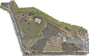
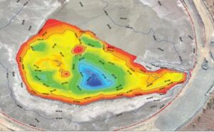
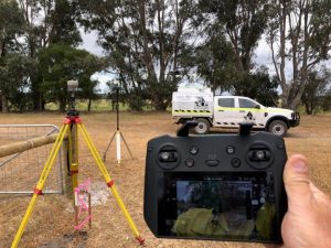
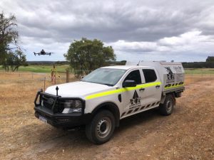
Using the latest drones, BCE can fly overhead surveying at low altitudes and precise speeds while the customers work can continue. BCE provides geo-referenced, high resolution imagery and 3D modelling.
BCE is a CASA certified ReOC holder with years of flying experience in all conditions operating fixed wing and multi rotor platforms. Aerial surveying is an accepted survey methodology with improved safety, efficiency and accrual for multiple applications.
BCE utilises the Seafloor Hydrone unit equipped with a Sonarmite BTX echo sounder for hydrographic feature surveys. This state-of-the-art equipment is designed to provide accurate and high-resolution data in a variety of marine environments, including rivers, lakes, and coastal areas.